RESERVOIRS AS WATER SUPPLY
The Henry County Water Authority (HCWA) owns and operates five drinking water reservoirs within its reservoir network. HCWA is what is referred to as a "surface water system" because its raw water supply is collected primarily from rainfall that runs off the earth's surface and eventually into in its drinking water reservoirs.
The HCWA reservoir network includes:
- The 1,466-acre Tussahaw Reservoir,
- The 1,100-acre Upper Towaliga or Ed L. Cole Reservoir,
- The 121-acre Lower Towaliga or Robert W. Strickland, Jr. Reservoir,
- The 277-acre Long Branch or James H. Rowland Reservoir, and
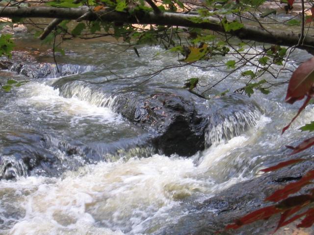
- The 209-acre Indian Creek or Gardner Reservoir.
Public drinking water reservoirs take years of advanced planning, permitting, construction, and filling, before they are able to serve as raw water sources for drinking water production. As an example, the planning and construction of the newest HCWA reservoir - The Tussahaw - dates back several decades. The Authority began locating the site and acquiring the property for the Tussahaw more than 10 years before construction began in 2004. The gates to the dam were closed in October of 2005, when the reservoir began to fill according to the pace of seasonal rains. Finally, the Tussahaw Reservoir began operation in 2007, when HCWA first withdrew its raw water for drinking water production at the Authority's Tussahaw Water Treatment Plant, which had a similar timetable for design, construction, and operation.
Building public reservoirs and water treatment facilities that often accompany them requires extensive permitting as well, obtained only through cooperation with a number of federal and state regulatory agencies, including the U.S. Army Corps of Engineers, the U.S. Environmental Protection Agency (EPA), the state of Georgia Department of Natural Resources, Environmental Protection Division (EPD), and others.
RAW WATER STORAGE CAPACITY AT THE RESERVOIRS
The five raw water reservoirs of the HCWA have a total storage capacity of more than 18 billion gallons. This equates to more than a year's worth (approximately 490 days) of raw water supply for drinking water production, even in the unlikely event that the system did not receive any rainfall.
The collective raw water storage capacity among the Authority's five reservoirs breaks down as follows:
- The Tussahaw Reservoir has a raw water storage capacity at full pool of approximately 30,000 acre-feet, or 9.78 billion gallons. Upon the opening of the Tussahaw Reservoir in 2007, HCWA more than doubled its raw water storage capacity, as the Tussahaw has more acre-feet than the Authority's other four reservoirs combined.
- The Cole (Upper Towaliga) Reservoir has a potential raw water storage capacity of 18,300 acre-feet, or 6.0 billion gallons.
- The Strickland (Lower Towaliga) Reservoir has a raw water storage capacity of approximately 425 acre-feet or 138 million gallons.
- The Rowland (Long Branch) Reservoir has a raw water storage capacity of approximately 4,600 acre-feet or 1.5 billion gallons.
- The Gardner (Indian Creek) Reservoir has a raw water storage capacity of approximately 2,200 acre-feet or 717 million gallons.
| Reservoir | Gallons of Storage |
|---|---|
| Tussahaw | 9.78 Billion |
| Cole | 6.00 Billion |
| Rowland | 1.50 Billion |
| Gardner | 717 Million |
| Strickland | 138 Million |
| Total | 18.135 Billion |
.jpg)
RAW WATER INTAKES
The Henry County Water Authority utilizes the five reservoirs within its network system to deliver good, quality raw water necessary for producing clean, safe finished drinking water in its two water treatment facilities. Raw water from the reservoirs reaches the water treatment plants via Intake Pumping Stations capable of delivering a combined total of over 50 million gallons per day (MGD).
Water Release from the Reservoirs *(7Q10)
The HCWA releases water daily from each reservoir. The Environmental Protection Agency (EPA) establishes the minimum amount of water that must be released. *This is called the 7Q10, meaning the seven-day low flow over 10 years. It roughly approximates the lowest stream flow for seven consecutive days that would be expected to occur once in ten years. The Authority releases at least this amount each day, and often more.